Family Shoot Moerkens
17 september 2015

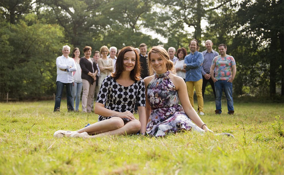
This family shoot is made at Pannenhoef. Pannenhoef is a natural area of approximately 706 hectares located between Zundert, Etten-Leur and Rijsbergen in the province of North Brabant and is owned by the Foundation Brabants landscape.
In this area was mined peat from the 14th to the 17th century. When the bog was gone a marshy moorland was created. From 1800 they started from the center of the field with small-scale mining. This resulted in forest and culture. From 1900-1940 scale mining activity took place. In the context of the relief work they went incrementing the lower parts.
The fen The Lokker, fed by rainwater and seepage, experienced a rich plant life: water lobelia and Isoetes lacustris came in large numbers. In 1938 the Bijloop was widened and the area drained. The Second World War brought an end to the mining activity. The fen soils developed into swampy marshland, which still bog asphodel, marsh gentian, bog violet, small skullcap and spotted orchid grow. Furthermore, there are numerous breeding birds.